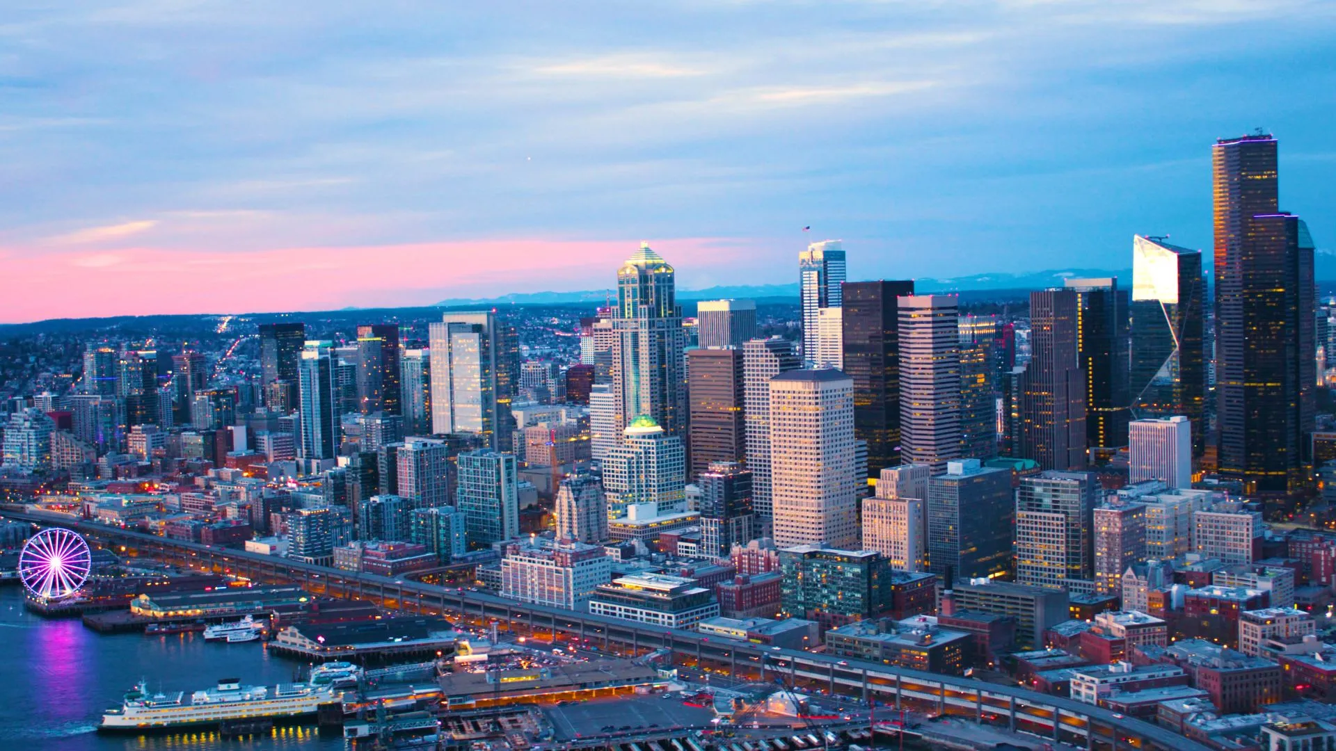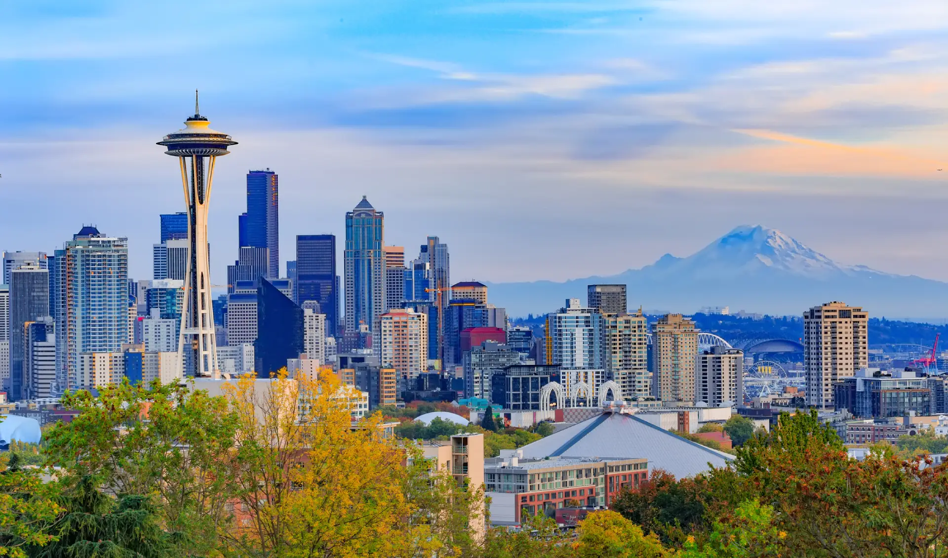
Anyone who has driven in Seattle for more than a week has a list of intersections they avoid with a passion. Ask a Capitol Hill resident about Boren and Pike during convention week or someone in the Rainier Valley about that bizarre six-way intersection at Rainier and 23rd and they will tell you that those areas has been confusing drivers for over a hundred years.
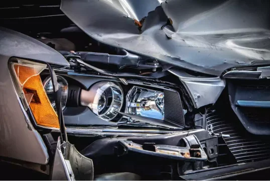
As Seattle averages roughly 10,000 collisions a year (according to the Seattle Department of Transportation), some Seattle intersections are dangerous because of bad design, others are dangerous because of where they sit, what surrounds them, and who is fighting to use them at the same time.
Despite the city’s Vision Zero program, traffic deaths in Seattle have actually risen sharply over the last decade and a handful of intersections show up year after year on the worst-of lists. Whether you live here, work here, or are just trying to figure out why your map app keeps routing you through one of them, they are worth knowing .
1. 6th Avenue & James Street (Downtown)
This intersection has topped Seattle’s most dangerous list more or less continuously since the city started tracking collision data in 2004. SDOT has logged over 100 injury crashes here since then, more than any other intersection in the city.
What makes it so bad is its location is that it sits at the chaotic seam where downtown street grid meets the I-5 freeway ramps, with the King County Courthouse a half-block away and Harborview Medical Center across the expressway to the east. That combination produces a perfect storm of conflicting traffic patterns:
- I-5 on-ramp and off-ramp traffic merging through the intersection at speed
- Pedestrians crossing constantly between the courthouse, Harborview, and downtown offices
- Tour buses, delivery trucks, and rideshares stopping in lanes near the courthouse
- Out-of-town drivers unfamiliar with the freeway ramp configuration trying to read signs at the last second
- Heavy ambulance traffic moving in and out of Harborview, often running lights with sirens
If there is a silver lining, it is that injured victims at this intersection are basically already at one of the most advanced trauma centers on the West Coast. That does not make the design any better, but it has saved lives.
2. Rainier Avenue South & 23rd Avenue South (Rainier Valley)
Rainier Avenue South is, by Seattle’s own data, the most dangerous arterial street in the city. It carries about 35,000 cars a day, and its intersection with 23rd Avenue South in the Rainier Valley is the worst spot on the worst street.
The problem is the design, because the original layout was built more than 100 years ago when streetcars dictated street angles, and it has never been meaningfully redesigned. The result is a confusing six-way crossing where three roads (Rainier, 23rd, and South Massachusetts Hill streets) all converge at strange angles.
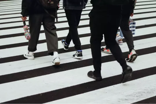
Drivers approaching the intersection have to figure out, in seconds, which lane goes where, who has the right of way, and whether the cyclist or pedestrian they are looking at is in a marked crosswalk or not. A few things make this intersection particularly hostile to pedestrians:
- Crossing 23rd along the east side of Rainier requires walking 116 feet, the equivalent of crossing an 11-lane road
- There is no legal crosswalk along the north side of the intersection, forcing some pedestrians to cross five separate crosswalks to get where they are going
- Bus stops on opposite sides of Rainier encourage jaywalking by riders trying to catch a transfer
- Sidewalks are narrow, uneven, and sit closer to fast-moving traffic than modern standards allow
SDOT has been working on the 23rd Avenue Corridor Improvements Project for years to reduce lanes, widen sidewalks, and convert the intersection from six-way to four-way. Until that project finishes, the intersection remains exactly as deadly as longtime residents say it is. If you have been hurt as a pedestrian in this part of the city, our Seattle pedestrian accident attorney page covers what your options look like.
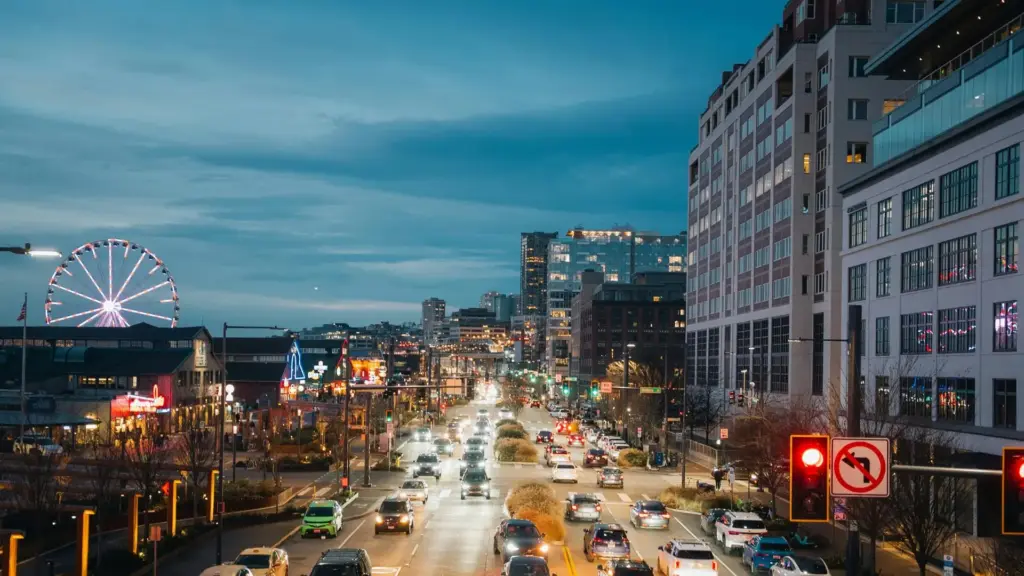
3. Mercer Street & Westlake Avenue North (South Lake Union)
If you have ever sat in the eastbound Mercer Street backup at 5:30 PM, watching cars stretch from Westlake all the way back onto I-5, you already know why this one is on the list. The “Mercer Mess” is so embedded in Seattle vocabulary that the term first appeared in print in 1966, in the Seattle Post-Intelligencer, before half the people complaining about it were even born.
Roughly 80,000 vehicles a day travel the Mercer corridor between Elliott Avenue West and I-5, and the Mercer and Westlake intersection sits in the middle of one of the fastest-growing neighborhoods in the country. South Lake Union is now home to Amazon, Google, multiple biotech firms, the Seattle Center, the streetcar line, and tens of thousands of office workers. That growth has happened faster than the road network was designed to handle.
Why this intersection is so dangerous:
- I-5 backups regularly spill onto Mercer during morning and evening commutes, creating sudden stops
- Pedestrian traffic is constant, with Amazon employees crossing between buildings and visitors walking to and from Seattle Center events
- The streetcar line and dedicated bus lanes add additional vehicle types to track
- Left turns from southbound Westlake onto eastbound Mercer cross a heavily used pedestrian path, and the signal timing has been a recognized problem for years
- Major event traffic from Climate Pledge Arena, Seattle Storm games, Kraken games, and Seattle Center festivals layers onto the daily commute and overwhelms signal capacity
Even after the Mercer Corridor Project spent more than $200 million rebuilding the road into a two-way boulevard, congestion and crashes remain stubborn. The fundamental problem is that there is more demand than the corridor can handle.
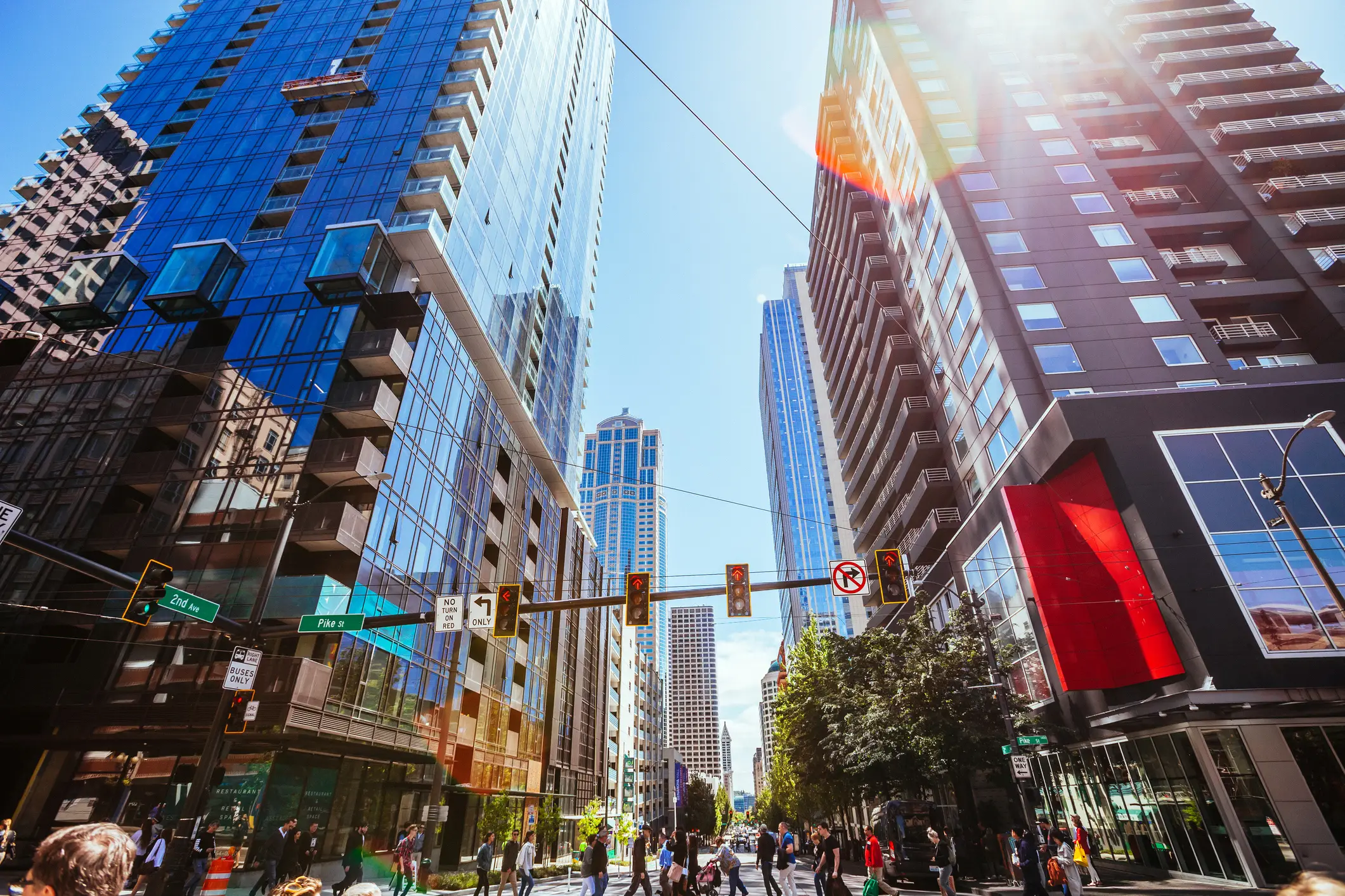
4. Boren Avenue & Pike Street (First Hill / Convention Center)
This intersection sits at the awkward boundary between downtown, First Hill, and the edge of Capitol Hill, less than a block from the Washington State Convention Center (now expanded as the Summit) and within walking distance of dozens of hotels, restaurants, and Capitol Hill nightlife. Boren is a major north-south arterial, Pike is a critical east-west pedestrian and bike corridor, and the two cross at a point where foot traffic almost never stops.
SDOT has logged dozens of crashes here over the years, with a disproportionate number involving pedestrians. The factors stacking up against this corner:
- High convention foot traffic with out-of-town visitors unfamiliar with Seattle traffic patterns
- A steady stream of hotel valet and rideshare pickups blocking lanes and sightlines
- Capitol Hill nightlife traffic flowing through late at night, often with impaired drivers or pedestrians
- Bike lane configurations that have changed multiple times, leaving drivers and cyclists confused about who belongs where
- Steep grade on Pike Street as it climbs toward Capitol Hill, which affects braking distance in wet weather
Convention week traffic alone can transform this intersection from busy to genuinely treacherous. Anyone walking, riding, or driving through the area when a major event is in town should treat the Pike-Boren corner like the high-conflict zone it actually is.
5. NE 130th Street & Lake City Way NE (Lake City)
Seven miles northeast of downtown, this intersection in the Lake City neighborhood is one of the most accident-prone in north Seattle. Lake City Way NE is also designated as State Route 522, a regional arterial that funnels commuter traffic between Seattle, Lake Forest Park, Bothell, and beyond. Drivers using it as a freeway alternative often forget they are on a city street with crosswalks, schools, and bus stops.
What makes 130th and Lake City Way dangerous is the mismatch between how the road is used and what it was actually designed for:
- High-speed regional traffic moving through a residential and small-business neighborhood
- A dedicated pedestrian overpass that many people skip in favor of crossing at street level, often running across multiple lanes of fast-moving traffic
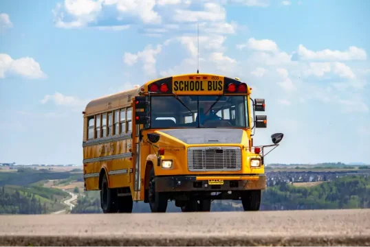
- Several schools and community centers within walking distance, including Olympic Hills Elementary
- A King County Metro transit hub nearby that creates concentrated foot traffic at predictable times of day
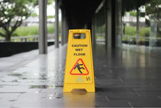
- Limited lighting and rainy conditions that make pedestrian visibility a chronic problem in fall and winter
The pedestrian overpass exists for a reason, but pedestrians who decide they are not going to walk an extra 200 feet to use it, especially after dark, are at serious risk. Any car accident or pedestrian collision in this area generally falls under Washington’s car accident laws, which we cover in detail elsewhere.
What These Intersections Have in Common
Every dangerous intersection in Seattle sits at a point where one kind of road tries to do a different job than what it was built for. Rainier and 23rd is a 19th-century streetcar grid trying to handle 21st-century traffic. Mercer and Westlake is a temporary I-5 access point that became a permanent neighborhood spine. NE 130th and Lake City Way is a state highway pretending to be a city street.
A few common ingredients show up at almost every spot:
- Mismatched road purposes (regional traffic on local streets, freeway speeds in pedestrian areas)
- Aging infrastructure that has not kept up with population and density growth
- Heavy mixing of vehicle, pedestrian, cyclist, and transit traffic in the same space
- Event-driven spikes in volume that overwhelm signal timing
- Bad weather (Seattle’s rain, fog, and short winter days) reducing visibility on roads already short on sightlines
None of these problems are individual driver error. They are structural. And while the City of Seattle’s Vision Zero plan has made progress in some places, fatalities are actually up 90 percent since 2015 according to recent data. That gap between policy goals and street-level reality is where most accidents live.
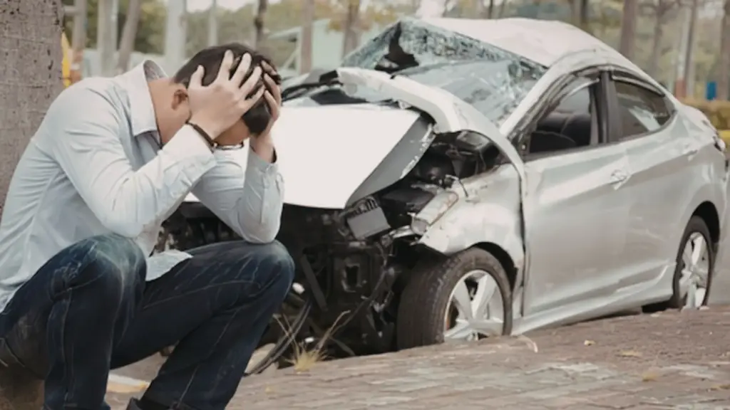
What to Do If You’re Hurt at One of These Intersections
If you were injured in a crash at any of these intersections, a few practical things to keep in mind. Seattle’s worst intersections tend to involve multiple potential at-fault parties: another driver, a city or state agency responsible for road or signal design, a property owner whose negligent setup contributed (parking lots, construction zones, valets), a transit operator, or the rideshare or trucking company employing the driver. Sorting out who is responsible often determines whether a claim is worth pursuing and how much it might recover.
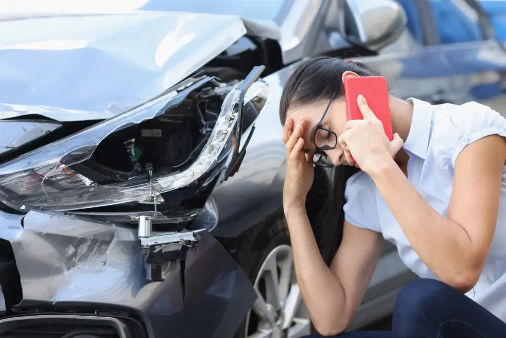
Steps that protect you whether you decide to file a claim or not:
- Get medical attention even if you feel okay, because soft tissue and head injuries often surface a day or two later
- Photograph the scene, vehicle damage, road conditions, signs, signals, and skid marks
- Get the names and contact information of any witnesses, especially pedestrians or transit riders who saw what happened
- Report the collision to Seattle Police if it involved injury or significant damage, and request the report number
- Note exactly where you were in the intersection and what direction you were going. Vague crash descriptions hurt cases later
- Avoid posting about the accident on social media. Insurance adjusters check
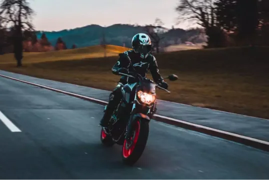
If you were on a motorcycle, see our Seattle motorcycle accident attorney page for the specific issues that come up in those cases. For crashes that happened on private property like a parking lot or driveway, Washington premises liability law sometimes applies.
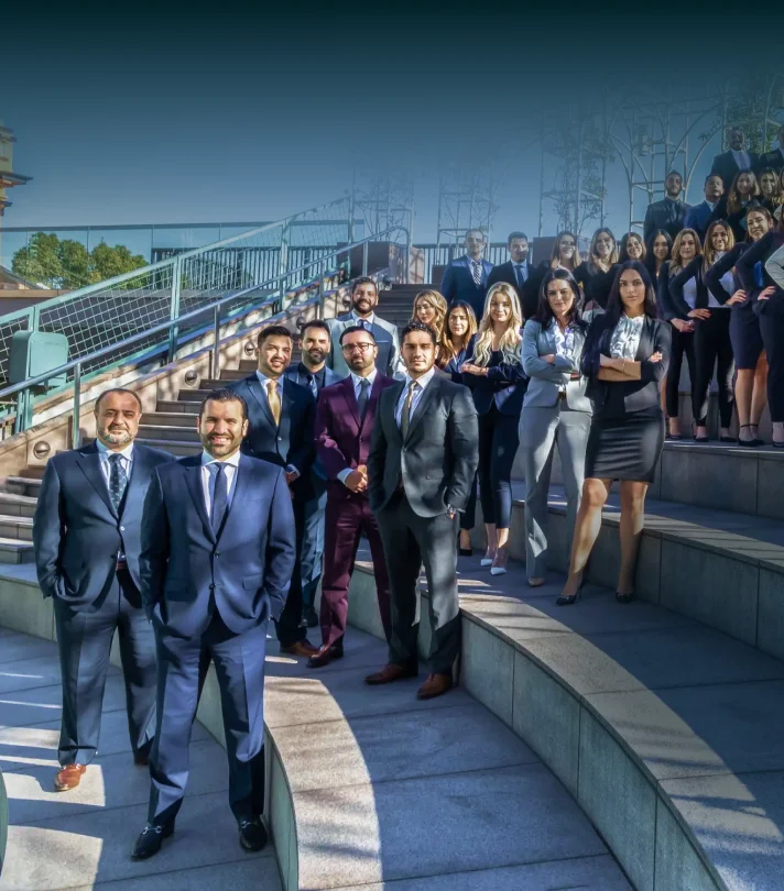
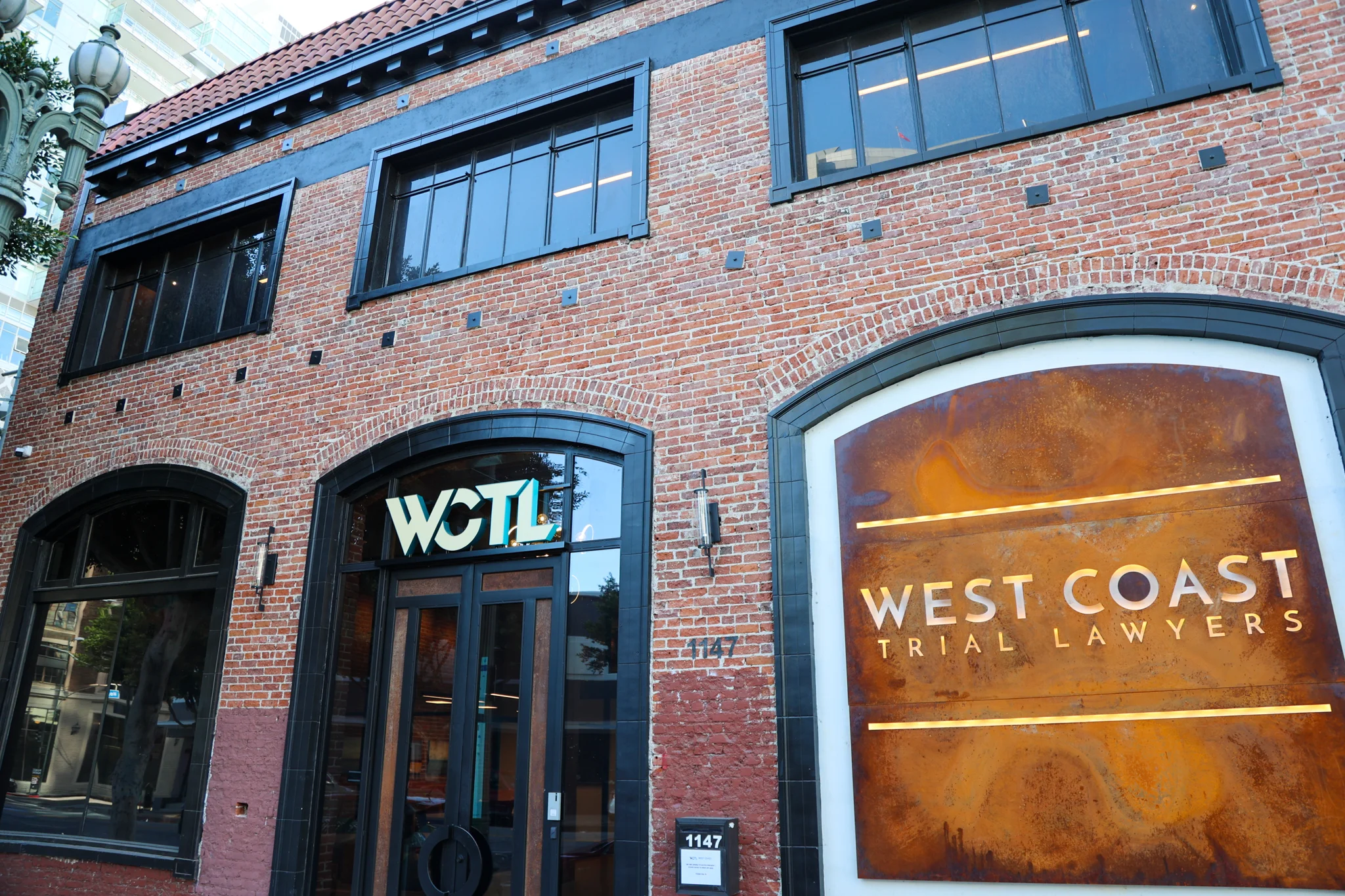
Drive Aware, Walk Aware, And When Accidents Happen Call WCTL
Knowing where Seattle’s worst intersections are will not eliminate the risk of an accident, but it changes how you move through them. If something does go wrong at one of these intersections, our Seattle team is available to walk through what happened and what the path forward could look like.
Reach us at (213) 927-3700 or send a message when you are ready and get a free case consultation!